Overview
The article highlights crucial renewable land use planning tools that significantly enhance the efficiency of renewable energy projects. It underscores the necessity of integrating advanced technologies, such as GIS mapping and data-driven decision-making, to optimize site selection. This integration not only minimizes conflicts with existing land uses but also fosters sustainable development within the renewable energy sector.
Introduction
In the pursuit of a sustainable energy future, the intersection of land use and renewable energy development stands as a pivotal challenge. With the demand for clean energy escalating, innovative strategies and frameworks are emerging to navigate the complexities of land acquisition and planning. Comprehensive land services tailored specifically for renewable projects and groundbreaking initiatives like the Desert Renewable Energy Conservation Plan illustrate this evolving landscape.
Advanced technologies, including GIS mapping tools, are transforming how energy developers assess and select sites. Organizations such as the Land Trust Alliance are fostering essential partnerships that uphold environmental integrity. How can stakeholders effectively address the challenges of land use in this clean energy transition? This article explores the multifaceted approaches and resources available, highlighting successful case studies and the collaborative efforts propelling this vital movement forward.
By understanding the complexities of legal and regulatory challenges, stakeholders can better appreciate the solutions offered by specialized services in this domain. The need for effective land acquisition strategies has never been more critical, and the benefits of engaging with knowledgeable partners are clear. Together, we can navigate this intricate landscape and drive the clean energy transition forward.
Harbinger Land | Complete Land Acquisition Services for Renewable Energy Projects
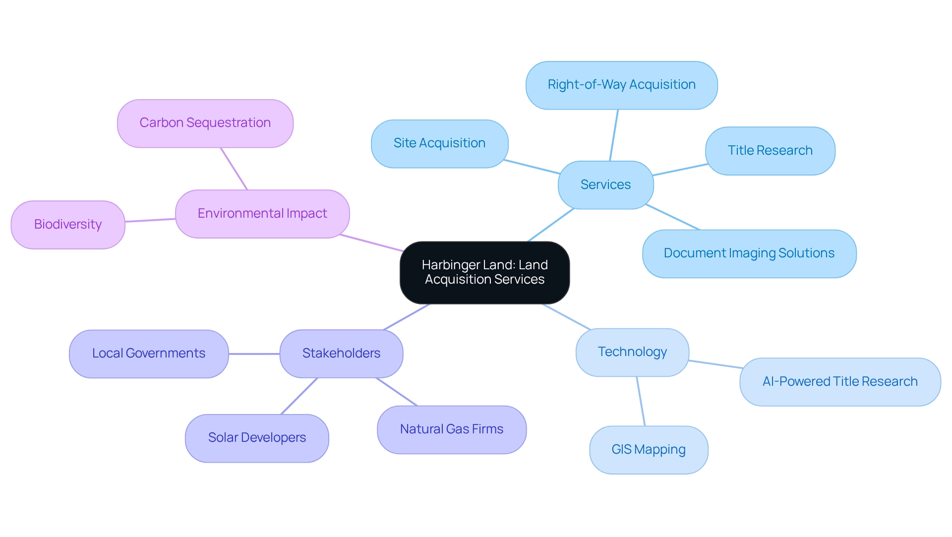
Harbinger Land stands at the forefront of property acquisition services, specifically designed to address the unique challenges of renewable power initiatives. The complexities of land acquisition, including legal and regulatory hurdles, can be daunting. However, Harbinger Land's expertise in site and right-of-way acquisition, meticulous title research, and advanced GIS mapping provides effective solutions. By leveraging cutting-edge technology, such as AI-powered title research software and highly integrated GIS modeling services, Harbinger Land significantly enhances the efficiency and precision of property services. This ensures that clients—including natural gas firms, solar developers, and local governments—receive prompt and reliable support as they navigate the intricacies of property acquisition within the energy sector.
Moreover, Harbinger Land's efficient document imaging solutions streamline title research and leasing processes, facilitating quick access to essential data. Such a robust approach is crucial for promoting the use of renewable land use planning tools and conservation planning. Ultimately, it contributes to biodiversity and carbon sequestration efforts, reinforcing the importance of responsible land management. For those looking to simplify their property acquisition challenges, Harbinger Land offers a comprehensive suite of services tailored to meet the demands of a rapidly evolving energy landscape.
Desert Renewable Energy Conservation Plan (DRECP): A Framework for Sustainable Land Use
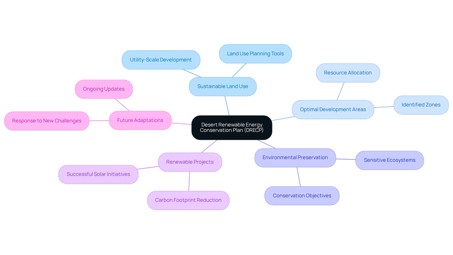
The Desert Renewable Energy Conservation Plan (DRECP) stands as a critical initiative in California, encompassing approximately 10.8 million acres dedicated to sustainable land use in desert regions. This comprehensive framework identifies optimal areas for utility-scale sustainable resource development while safeguarding sensitive ecosystems. By balancing the needs of sustainable power developers with environmental preservation, the DRECP serves as an essential guide for policymakers and industry participants. Its implementation of renewable land use planning tools has led to successful renewable power projects, such as the establishment of solar farms that have significantly reduced carbon footprints, exemplifying the potential for sustainable practices.
A recent case study underscores the successful incorporation of solar power initiatives within the DRECP framework, demonstrating how developers can operate sustainably while adhering to conservation objectives. As the DRECP evolves, it continues to adapt to new challenges and opportunities, reinforcing its role in shaping a sustainable power future for California. Notably, as Elizabeth May remarked, "Once you installed a solar panel on a rooftop, power is free," highlighting the long-term advantages of sustainable initiatives.
Furthermore, the DRECP's current status as of 2025 reflects ongoing updates and modifications to ensure it meets the changing needs of both the environment and power developers. This aligns with Dennis Kucinich's call for a sustainable policy that prioritizes consumers and nature.
GIS Mapping Tools: Revolutionizing Land Management for Renewable Energy Projects
Geographic Information Systems (GIS) mapping tools have fundamentally transformed resource management practices within renewable power projects. These advanced tools enable developers to visualize spatial data, analyze usage patterns, and identify optimal locations for power installations. By integrating various data layers, GIS tools facilitate informed decision-making, greatly simplifying the planning process and reducing potential conflicts with existing territory uses. The demand for roles requiring geographic information skills surged by 98% from 2021 to 2023, underscoring the growing importance of GIS in the sector.
Recent advancements, including cloud-based GIS systems and AI-driven spatial data aggregation, are enhancing the capabilities of geospatial analysis, making it a crucial element of future resource planning and development. Notably, SSP Innovations has launched a GIS maturity assessment aimed at strengthening utility GIS programs, further highlighting the ongoing evolution in this field. Successful applications of GIS in site selection have demonstrated its effectiveness in enhancing project development cycles and improving grid planning. This ultimately contributes to better climate risk assessments, and as the terrain of renewable resources continues to develop, the incorporation of renewable land use planning tools will be crucial in attaining sustainable usage and conservation objectives alongside advanced GIS mapping tools.
Lincoln Institute Insights: Navigating Land Use Challenges in Clean Energy Transition
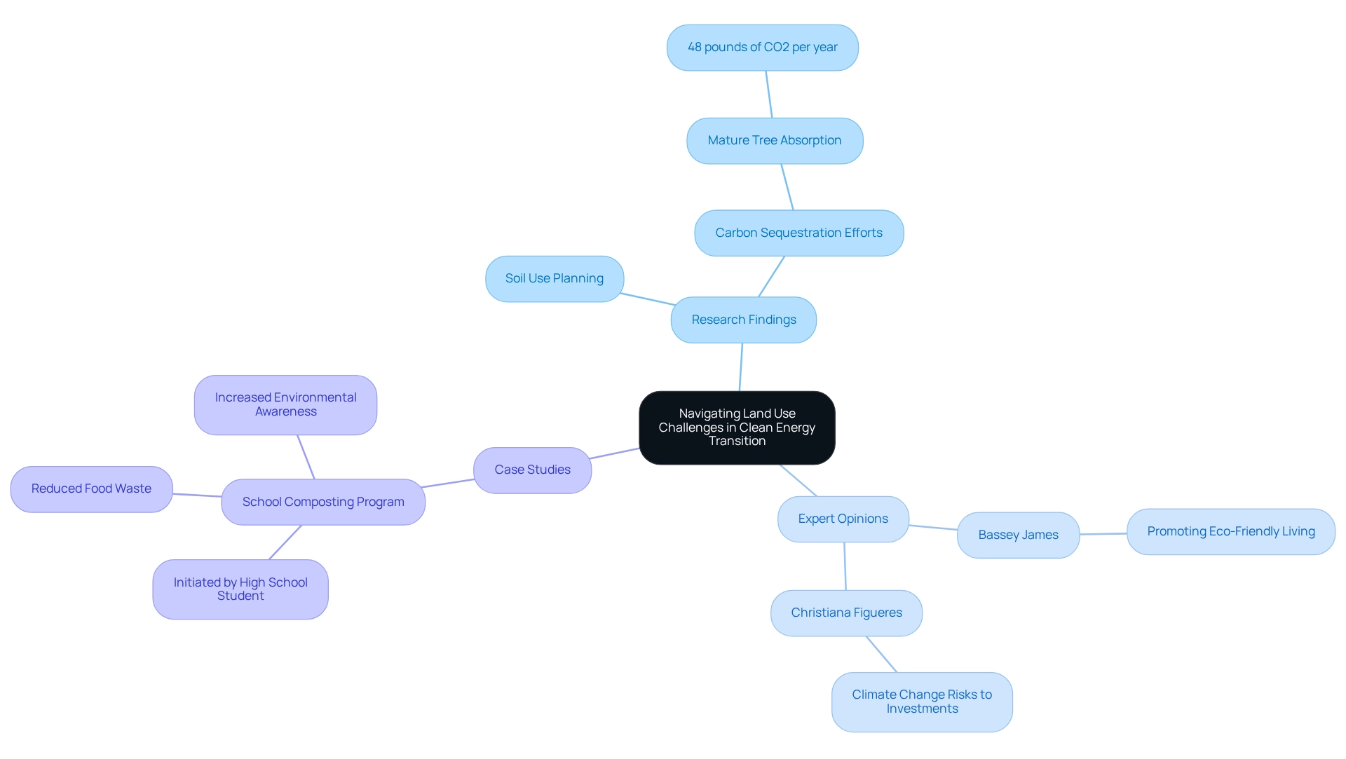
The Lincoln Institute of Property Policy addresses critical challenges in the clean power transition. Their research underscores the necessity of integrating renewable land use planning tools with energy policy to mitigate conflicts and foster sustainable development. For instance, a recent study revealed that effective soil use planning can significantly enhance carbon sequestration efforts; a single mature tree can absorb up to 48 pounds of carbon dioxide annually.
Bassey James, a sustainability expert, emphasizes the importance of promoting eco-friendly living, asserting that understanding sustainability is vital for effective resource management. Furthermore, Christiana Figueres has pointed out that climate change represents a substantial long-term risk to investments, accentuating the urgency of this integration.
By analyzing various case studies, including community initiatives like a high school composting program that successfully reduced food waste and heightened environmental awareness, stakeholders can identify best practices for navigating the complexities of property usage in sustainable projects. This approach not only addresses environmental concerns but also employs renewable land use planning tools to align community needs with energy objectives, ensuring a balanced and effective transition to clean power solutions.
Land Trust Alliance Resources: Engaging Land Trusts in Renewable Energy Siting
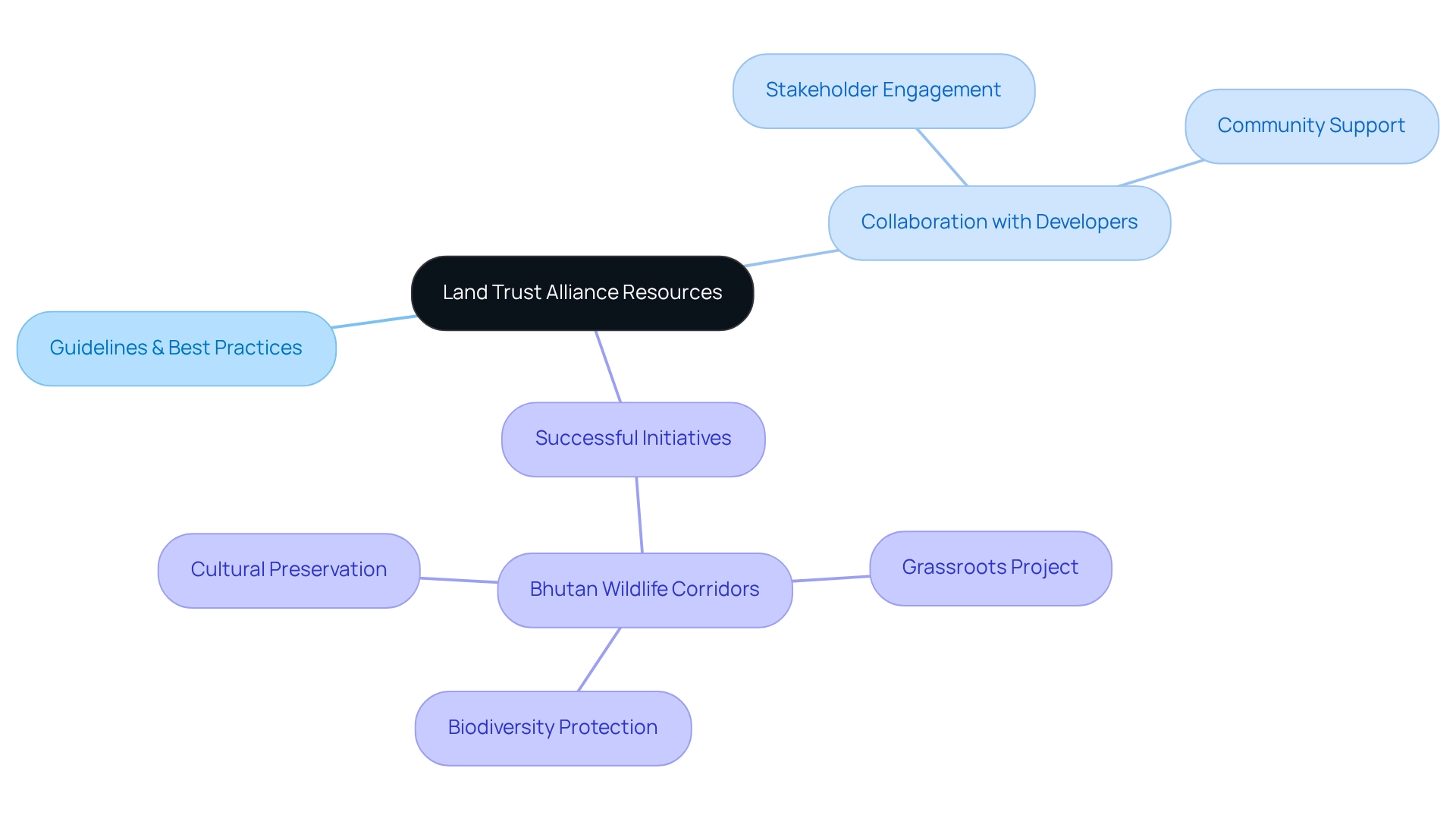
The Land Trust Alliance plays a pivotal role in equipping conservation trusts with essential resources for engaging in renewable power initiatives. These resources include comprehensive guidelines and best practices tailored to effectively align energy development with conservation efforts. As Ma Jun aptly noted, addressing environmental challenges requires collaboration among all stakeholders. Therefore, it is vital for developers to forge partnerships with trusts. This collaboration not only garners community support but also ensures that projects are strategically designed to minimize environmental impacts.
A compelling instance of this is the grassroots biodiversity protection initiative in Bhutan, where local villagers successfully constructed wildlife corridors and replanted native trees. This example illustrates the positive outcomes that can arise from such partnerships. By integrating insights from trusts, developers can enhance project viability while contributing to biodiversity conservation and carbon sequestration, ultimately benefiting both the environment and local communities.
As Samwise GamGee wisely remarked, 'There’s some good in this world, Mr. Frodo. And it’s worth fighting for.' This sentiment underscores the importance of sustainable practices within the alternative power sector.
Montgomery Planning Initiatives: Integrating Solar Energy into Land Use Planning
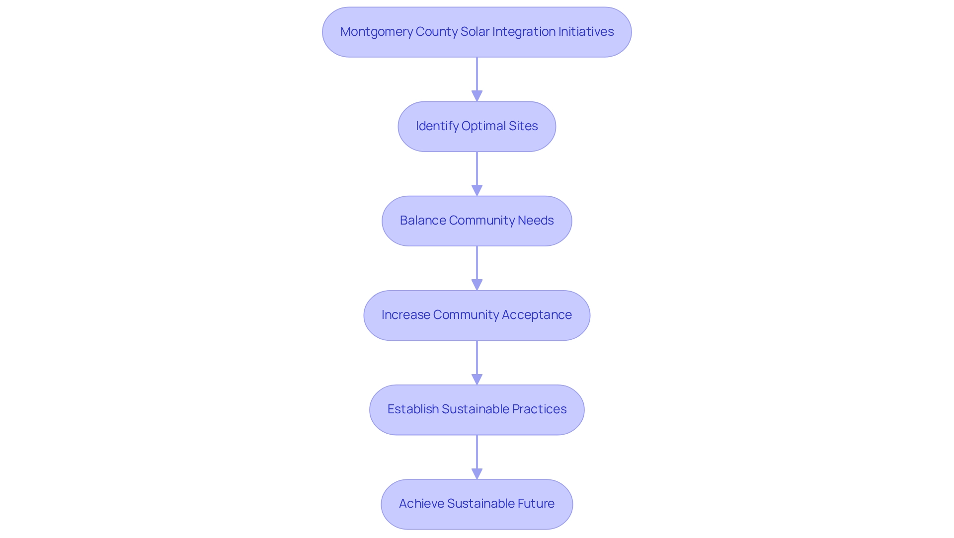
Montgomery County has made significant strides in incorporating solar power into its planning initiatives. These efforts focus on identifying optimal sites for solar installations while balancing community needs and environmental considerations. By proactively addressing the integration of solar power, Montgomery County establishes a benchmark for other regions, demonstrating how local authorities can effectively promote sustainable resource development through renewable land use planning tools.
In 2025, the county's initiatives gained momentum, with community acceptance of solar projects rising markedly, reflecting an increasing awareness of the benefits of renewable energy sources. Notably, as Andrew Blake pointed out, California sourced nearly 40 percent of its electricity from solar power, illustrating the potential for similar achievements in Montgomery County.
Local experts, such as Rik Degunther, emphasize, "It’s encouraging to know that you’re doing your fair share to mitigate global warming. It’s comforting to know your future is more secure. And let’s face it: Solar power is cool."
These initiatives are crucial for fostering a sustainable future, demonstrating that solar power is not merely a viable option but an essential strategy in combating climate change. Success stories from Montgomery County underscore the effectiveness of renewable land use planning tools, demonstrating that with the right policies in place, solar power can be seamlessly integrated into local landscapes, paving the way for a cleaner, more sustainable future.
Data Basin DRECP Resources: Comprehensive Overview for Renewable Energy Stakeholders
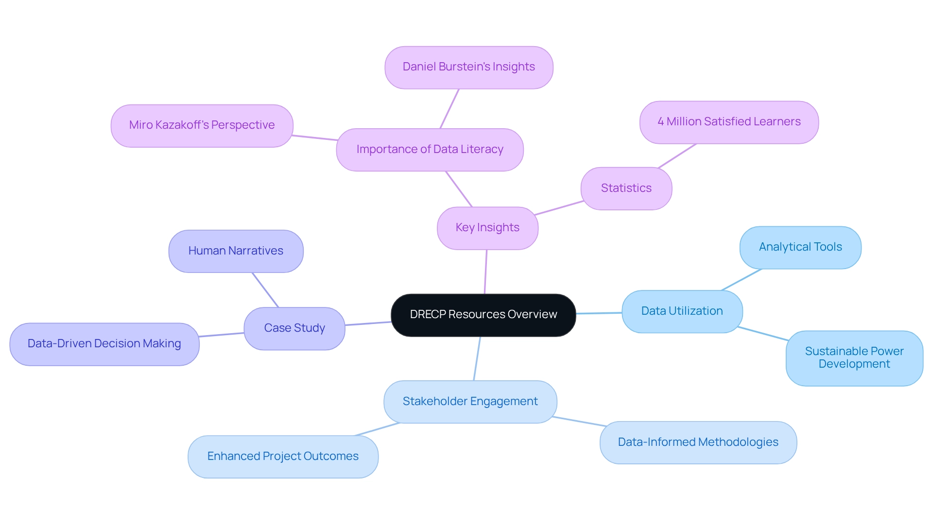
Data Basin stands as a crucial resource hub for stakeholders engaged in the Desert Renewable Energy Conservation Plan (DRECP), providing a comprehensive suite of data and analytical tools. This platform is instrumental in pinpointing optimal locations for sustainable power development, taking into account both environmental and social considerations. By leveraging Data Basin's resources, stakeholders can make informed, data-driven decisions that align with conservation objectives and bolster the sustainability of alternative power initiatives.
Successful sustainable power projects have demonstrated the efficacy of utilizing DRECP data, showcasing how informed planning can enhance stakeholder engagement and project outcomes. As Miro Kazakoff points out, organizations equipped with data-literate teams are better positioned to excel in a data-driven environment. Additionally, Daniel Burstein stresses that grasping the human narratives behind data is vital for effective decision-making.
The case study titled "Data-Driven Decision Making" reinforces this notion, advocating for the integration of data into planning and decision-making processes. Statistics further indicate that stakeholder engagement in sustainable resource development significantly improves when data-informed methodologies are applied. This highlights the critical role of comprehensive data tools, including renewable land use planning tools, available through the Desert Renewable Energy Conservation Plan, which are essential for stakeholders seeking to enhance their project planning and results.
As Thomas Carlyle aptly stated, "A person who is gifted sees the essential point and leaves the rest as surplus," underscoring the necessity of concentrating on key data points in project planning.
Frontiers in Environmental Science: Identifying Low-Conflict Areas for Renewable Energy Development
Recent studies published in Frontiers in Environmental Science highlight the critical recognition of low-conflict zones as a cornerstone for sustainable power development. This focus is essential in mitigating usage conflicts. By honing in on these elements, developers can significantly reduce disruptions to existing land uses and ecosystems, thereby enhancing project viability and fostering community support. This strategic approach not only facilitates a seamless transition to renewable energy sources but also utilizes renewable land use planning tools that align with sustainable usage practices.
Innovative methods, such as:
- Prioritizing rooftop solar installations that utilize existing buildings
- Repurposing unused farmland
- Incorporating agrivoltaics
can lead to substantial electricity generation without extensive land consumption. These techniques enhance space utilization and contribute to minimizing the overall ecological footprint of power initiatives. In 2022, rooftop solar capacity represented 65% of the EU's solar fleet, showcasing the effectiveness of these strategies in alleviating land use conflicts.
As the demand for sustainable energy escalates, the use of renewable land use planning tools will be vital for further nation-specific assessments to refine planning initiatives and address local ecological challenges. This ensures that the advancement of sustainable project implementations remains both effective and environmentally responsible. As Elizabeth May aptly stated, "Once you got a solar panel on a roof, energy is free," emphasizing the economic advantages of renewable energy development in low-conflict areas.
Conclusion
Navigating the intricate landscape of land use in renewable energy development is not just essential; it is imperative for achieving a sustainable energy future. Comprehensive land acquisition services, such as those provided by Harbinger Land, are pivotal in streamlining processes through advanced technologies like GIS mapping and AI. The Desert Renewable Energy Conservation Plan (DRECP) serves as a prime example of how effective frameworks can harmonize energy needs with environmental conservation, paving the way for successful renewable projects while safeguarding ecosystems.
The integration of GIS tools has fundamentally transformed site selection, empowering developers to make informed decisions that minimize conflicts with existing land uses. Insights from organizations like the Lincoln Institute of Land Policy underscore the necessity of aligning land use planning with energy policy. Effective strategies can enhance carbon sequestration and support community needs. Collaborations with land trusts further reinforce the relationship between energy development and conservation, illustrating that sustainable practices yield benefits for both the environment and local communities.
As evidenced by initiatives across various regions—such as Montgomery County's solar energy integration and the strategic identification of low-conflict areas for development—it is evident that proactive planning and community engagement are vital. By leveraging data-driven approaches and fostering partnerships, stakeholders can propel the clean energy transition while preserving biodiversity and promoting sustainable land use. The path forward demands a collective commitment to innovative solutions that ensure a cleaner, more resilient energy future for all.
Frequently Asked Questions
What services does Harbinger Land provide?
Harbinger Land offers property acquisition services tailored to renewable power initiatives, including site and right-of-way acquisition, title research, and GIS mapping.
How does Harbinger Land enhance the efficiency of property acquisition?
Harbinger Land utilizes advanced technology, such as AI-powered title research software and integrated GIS modeling services, to improve the efficiency and precision of property services.
Who are the primary clients of Harbinger Land?
Harbinger Land's clients include natural gas firms, solar developers, and local governments.
What role does document imaging play in Harbinger Land's services?
Efficient document imaging solutions streamline title research and leasing processes, allowing for quick access to essential data.
What is the Desert Renewable Energy Conservation Plan (DRECP)?
The DRECP is a critical initiative in California that covers approximately 10.8 million acres dedicated to sustainable land use in desert regions, balancing sustainable power development with environmental preservation.
How does the DRECP benefit renewable power developers?
The DRECP identifies optimal areas for utility-scale sustainable resource development, guiding developers in operating sustainably while adhering to conservation objectives.
What are some successful outcomes of the DRECP?
The DRECP has led to successful renewable power projects, including solar farms that have significantly reduced carbon footprints.
How does the DRECP adapt to changing needs?
The DRECP is continuously updated to address new challenges and opportunities in both environmental protection and power development.
What is the significance of sustainable initiatives mentioned in the article?
Sustainable initiatives, such as solar power, provide long-term advantages by reducing energy costs and promoting responsible land management, contributing to biodiversity and carbon sequestration efforts.
List of Sources
- Harbinger Land | Complete Land Acquisition Services for Renewable Energy Projects
- trvst.world (https://trvst.world/renewable-energy/renewable-energy-quotes)
- Top 10 Inspiring Quotes About Solar Energy - Solar academy (https://solar-academy.com/top-10-inspiring-quotes-about-solar-energy)
- 60 Quotes About the Future of Renewable Energy (https://deliberatedirections.com/renewable-energy-quotes)
- Desert Renewable Energy Conservation Plan (DRECP): A Framework for Sustainable Land Use
- digitaldefynd.com (https://digitaldefynd.com/IQ/inspirational-quotes-about-sustainability)
- 20 Environmental Sustainability Quotes: Expert Guide with Insights and Inspiration | What is Green Living? (https://whatisgreenliving.com/environmental-sustainability-quotes)
- 60 Quotes About the Future of Renewable Energy (https://deliberatedirections.com/renewable-energy-quotes)
- GIS Mapping Tools: Revolutionizing Land Management for Renewable Energy Projects
- DOE launches updated mapping tool to optimize renewable energy siting decisions (https://utilitydive.com/news/energy-mapping-tool-solar-wind-argonne-modeling-geospatial/640227)
- Energy infrastructure has been relying on legacy mapping technology for 40 years. It’s time for an upgrade. | Energize Capital (https://energizecap.com/news-insights/energy-infrastructure-has-been-relying-on-legacy-mapping-technology)
- Lincoln Institute Insights: Navigating Land Use Challenges in Clean Energy Transition
- 20 Environmental Sustainability Quotes: Expert Guide with Insights and Inspiration | What is Green Living? (https://whatisgreenliving.com/environmental-sustainability-quotes)
- 20 Quotes To Get You Inspired For a Renewable Future - Solstice (https://solstice.us/solstice-blog/20-quotes-for-a-renewable-future)
- 100+ inspirational and powerful quotes on Sustainability (clustered by topic) - Twenty Now (https://twentynow.com/sustainability-initiatives/sustainability/100-inspirational-and-powerful-quotes-on-sustainability-clustered-by-topic)
- Land Trust Alliance Resources: Engaging Land Trusts in Renewable Energy Siting
- 20 Environmental Sustainability Quotes: Expert Guide with Insights and Inspiration | What is Green Living? (https://whatisgreenliving.com/environmental-sustainability-quotes)
- 20 Quotes To Get You Inspired For a Renewable Future - Solstice (https://solstice.us/solstice-blog/20-quotes-for-a-renewable-future)
- 77 Inspirational Quotes on Collaboration (TRUST) (https://graciousquotes.com/collaboration)
- Montgomery Planning Initiatives: Integrating Solar Energy into Land Use Planning
- Quotes About Solar Power: 50 Picks to Light Up Your Life - Lumify Energy (https://lumifyenergy.com/blog/quotes-about-solar-power)
- Data Basin DRECP Resources: Comprehensive Overview for Renewable Energy Stakeholders
- 15 quotes and stats to help boost your data and analytics savvy | MIT Sloan (https://mitsloan.mit.edu/ideas-made-to-matter/15-quotes-and-stats-to-help-boost-your-data-and-analytics-savvy)
- 125 Inspirational Quotes About Data and Analytics [2025] (https://digitaldefynd.com/IQ/inspirational-quotes-about-data-and-analytics)
- 31 Essential Quotes on Analytics and Data | AnalyticsHero™ (https://analyticshero.com/blog/31-essential-quotes-on-analytics-and-data)
- Frontiers in Environmental Science: Identifying Low-Conflict Areas for Renewable Energy Development
- Frontiers | Land use and Europe’s renewable energy transition: identifying low-conflict areas for wind and solar development (https://frontiersin.org/journals/environmental-science/articles/10.3389/fenvs.2024.1355508/full)
- How Much Land Is Needed for 100% Renewable Energy? (Latest Research Stats) (https://patentpc.com/blog/how-much-land-is-needed-for-100-renewable-energy-latest-research-stats)
- trvst.world (https://trvst.world/renewable-energy/renewable-energy-quotes)


