Introduction
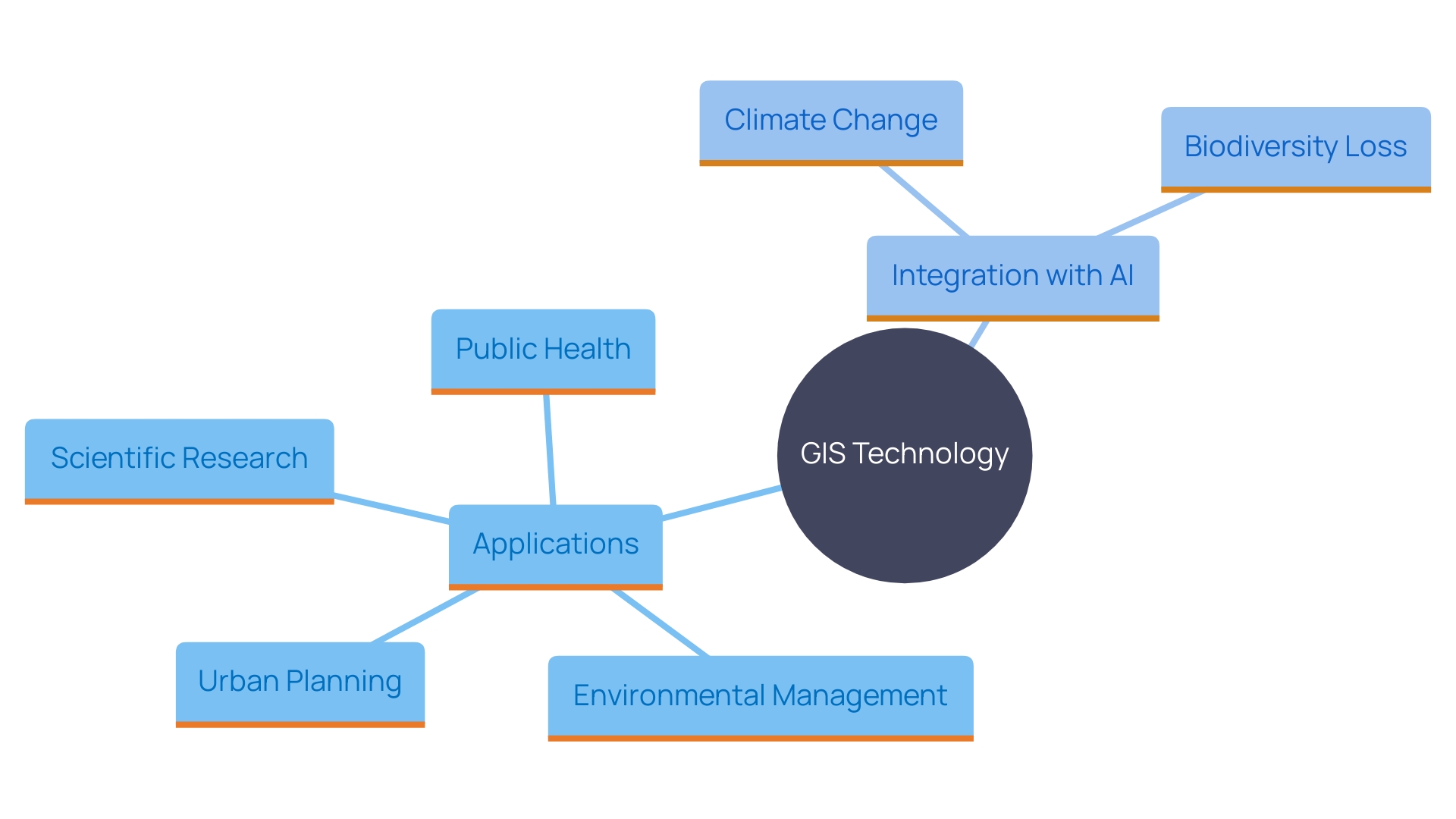
Geographic Information Systems (GIS) technology represents a pivotal advancement in the realm of spatial data management, analysis, and visualization. By seamlessly integrating hardware, software, and data, GIS enables users to capture, manage, and display geographically referenced information, thereby offering invaluable insights into spatial relationships, patterns, and trends. This technology has found diverse applications, ranging from urban planning and environmental management to scientific research and industry.
In Minnesota, GIS has been instrumental in addressing critical societal challenges, such as child poverty alleviation and water quality improvement. The state's geographic data office has empowered government agencies to make timely and effective decisions, while a geospatial initiative has provided urban planners and health professionals with crucial data on air quality, noise, and green spaces. Beyond local government applications, GIS is indispensable in fields like epidemiology, ecology, and climate science, aiding in disease mapping, wildlife tracking, and environmental monitoring.
Looking forward, the integration of GIS with artificial intelligence (AI) holds the potential for further advancements. Collaborative efforts by institutions like Columbia University and Esri aim to leverage AI to tackle global challenges, including climate change and biodiversity loss. The combined power of GIS and AI promises to accelerate our capacity to address environmental threats and promote a more sustainable future.
Understanding GIS Technology
Geographic Information Systems (GIS) technology is a transformative tool that integrates hardware, software, and information to capture, manage, analyze, and display all forms of geographically referenced content. By enabling users to visualize spatial information, GIS not only facilitates a better understanding of relationships, patterns, and trends in land services but also supports a myriad of applications from urban planning to environmental management.
In the state of Minnesota, for instance, GIS has been pivotal in addressing pressing societal issues such as eliminating child poverty and improving water quality by removing lead service lines. The state's dedicated office for geographic information has empowered government agencies to make faster, more effective decisions. Similarly, a geospatial initiative developed by researchers provides valuable insights into air quality, noise, and green spaces, enhancing decision-making for urban planners and health professionals.
GIS technology's ubiquity extends beyond local government applications; it also plays a crucial role in scientific research and industry. It helps epidemiologists map disease spread, assists ecologists in tracking wildlife movements, and supports climate scientists in monitoring changes in glaciers and sea levels. Furthermore, urban planners and engineers utilize GIS to determine optimal locations for new development and infrastructure projects.
The integration of GIS with artificial intelligence (AI) holds promise for even greater advancements. Collaborative efforts by institutions such as Columbia University and Esri aim to leverage AI to bolster climate and nature solutions, addressing global challenges like climate change, biodiversity loss, and environmental pollution. The transformative potential of GIS and AI combined could significantly accelerate our capacity to address these environmental threats and contribute to a more sustainable future.

Key Applications of GIS in Land Services
'Geographic Information Systems (GIS) play a crucial role in property services by enabling efficient information management and analysis.'. These powerful tools organize spatial data into layers, which can be combined and displayed on maps. This allows for comprehensive evaluations of terrain attributes, facilitating strategic project execution.
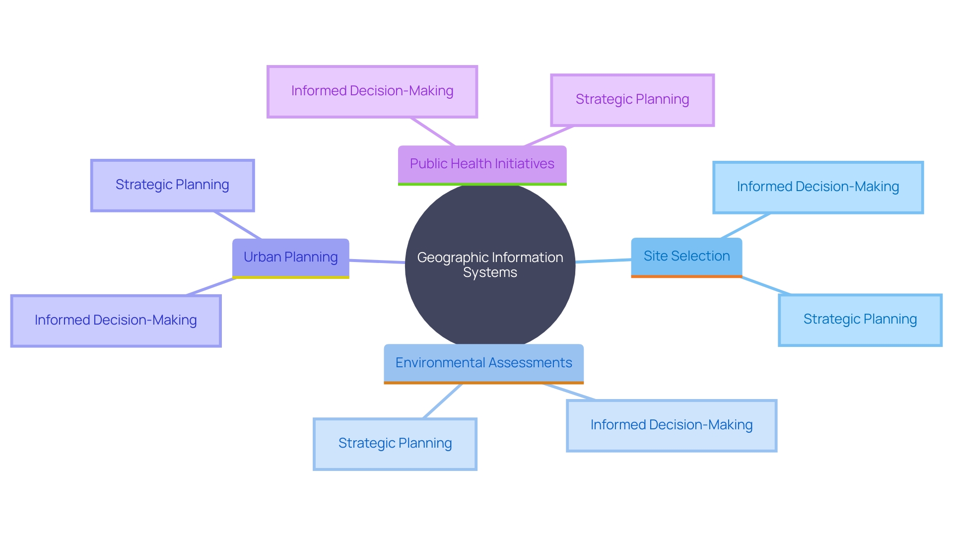
"GIS applications are extensive and diverse, including site selection for development projects, usage planning, environmental impact assessments, and property boundary delineation.". For instance, GIS assists in zoning analysis, enabling urban planners to determine the best places for new development and infrastructure. It also aids in infrastructure planning and resource management, ensuring that projects are both sustainable and effective.
The impact of GIS extends beyond traditional land services. For example, Minnesota has leveraged GIS to tackle issues like child poverty, lead contamination in drinking water, and high-speed internet deployment. Moreover, GIS tools support environmental and public health initiatives by providing insights into air quality, noise, and green spaces, thereby empowering communities and fostering sustainable urban development.
As Joseph Brigham Bowles from Esri emphasizes, GIS tools democratize spatial information, allowing sectors and research communities to improve their problem-solving abilities. Whether it's mapping disease spread for epidemiologists, studying wildlife movement for ecologists, or understanding climate changes for scientists, GIS is a critical tool in various fields.
In summary, GIS transforms spatial information into actionable insights, driving informed decision-making and strategic planning across numerous applications. Its capacity to combine and examine varied information collections establishes it as a fundamental component in property services and beyond.

Benefits of Integrating GIS in Land Administration
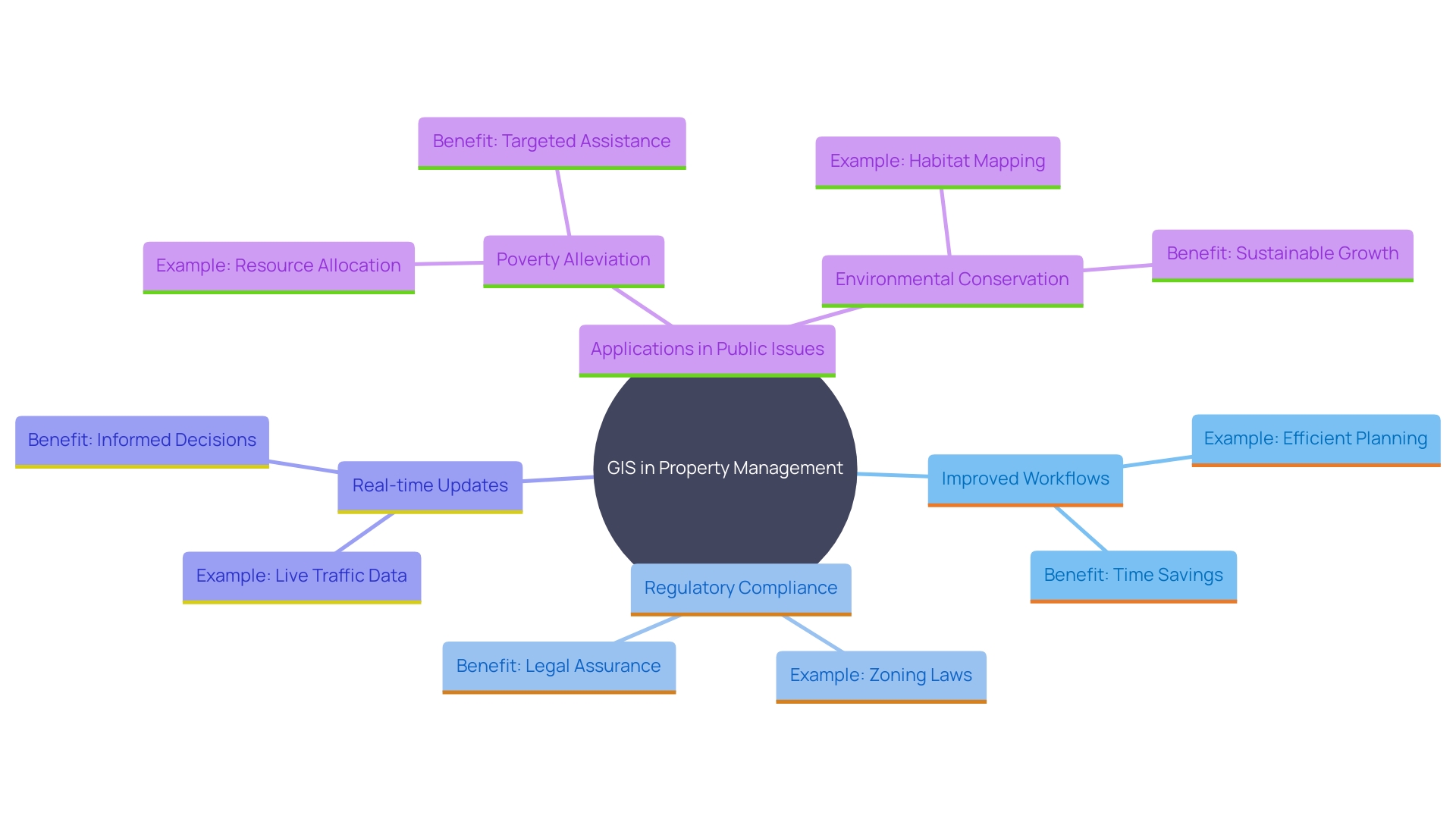
Incorporating GIS into property management processes provides numerous advantages. By utilizing GIS technology, information precision and accessibility are greatly improved, resulting in streamlined workflows and a decrease in the time needed for resource management activities. For instance, the City of Plano, Texas, effectively utilized Esri’s ArcGIS to manage its extensive water system, which includes over 81,000 individual service lines. This digital tool enabled them to create a comprehensive inventory of service lines, detailing materials, age, precise locations, and addresses, thereby meeting regulatory requirements efficiently.
Moreover, GIS facilitates real-time updates and spatial analysis, enabling property services to respond promptly to changes in environmental or regulatory conditions. This adaptability is crucial, as highlighted by Minnesota's initiative to use mapping to address various public issues, such as eliminating child poverty and deploying high-speed internet across the state. The state's dedicated office for geographic information exemplifies how GIS can serve as both an analytical and problem-solving tool.
'The graphical depiction of information through GIS also assists stakeholders in comprehending intricate terrain issues, promoting improved communication and teamwork.'. This is evident in the holistic strategies for restoring forests and landscapes in Kenya, where GIS tools have been instrumental in conservation efforts and climate action movements. As we navigate an era defined by connectivity and convergence, the geospatial industry is poised to revolutionize sectors by integrating digital twins, enhancing our ability to make informed decisions for societal and environmental betterment. GIS tools enable communities by supplying localized environmental information, thereby encouraging sustainable urban growth and enhancements in public health.

Future Trends and Challenges in GIS for Land Services
'The future of GIS in land services is poised for transformative growth, utilizing advanced tools such as artificial intelligence, machine learning, and cloud computing.'. These innovations are anticipated to substantially enhance information analysis capabilities and improve the overall user experience. For example, AI can accelerate innovations in various domains, offering scalable solutions to address climate change and environmental threats. According to a recent partnership involving Columbia University and Esri, AI demonstrates substantial potential to transform and accelerate efforts to combat global warming and biodiversity loss.
However, several challenges need addressing to optimize GIS potential. Data privacy remains a significant concern, particularly as GIS technologies become more integrated into everyday operations. Ensuring interoperability among various systems is another critical challenge, essential for smooth information exchange and thorough analysis. Additionally, continuous training of personnel is crucial to keep pace with rapid technological advancements.
The importance of GIS in modern industries cannot be overstated. As highlighted by experts Luis Olivieri, Lawrence Burden, Le’Aundra McCullough, and Ashley Pena, GIS is a vital tool for water quality, conservation, governance, and stormwater management, among other needs. The geospatial industry is poised for a new era characterized by connectivity and convergence, driven by innovation and public policies. Over the past few years, the sector has expanded, opening new application areas for Earth Observation information and leading to new business models.
Additionally, initiatives such as the Digital Earth Pacific training highlight the practical uses of GIS technology in mapping terrestrial and marine regions for various governmental programs and services. This hands-on training equips participants with the skills to use digital tools effectively, thereby enhancing their capacity to contribute to environmental and developmental goals.
In conclusion, addressing data privacy, system interoperability, and ongoing training will be essential to fully harness the potential of GIS in land services. By overcoming these challenges, GIS can play a pivotal role in shaping sustainable urban development and enhancing public health through informed decision-making.
Conclusion
The exploration of Geographic Information Systems (GIS) technology reveals its transformative impact on spatial data management and analysis. By integrating hardware, software, and data, GIS provides a robust framework for capturing and visualizing geographically referenced information. This capability not only enhances understanding of spatial relationships but also supports a wide array of applications, particularly in land services, urban planning, and environmental management.
In Minnesota, GIS has been instrumental in addressing critical societal challenges including child poverty and improving water quality. The state's geographic data office has empowered agencies to make informed decisions, while initiatives have provided valuable insights into air quality and urban health. The versatility of GIS extends to scientific research, aiding in areas such as epidemiology and climate science, where it assists in disease mapping and ecological monitoring.
Looking ahead, the integration of GIS with artificial intelligence presents significant opportunities for further advancement in addressing global challenges. Collaborative efforts among institutions aim to leverage this synergy to combat pressing issues like climate change and biodiversity loss. However, challenges such as data privacy and system interoperability must be addressed to optimize GIS's potential.
Ongoing training for personnel will also be essential to keep pace with technological advancements.
Ultimately, GIS technology has established itself as a cornerstone in land services and beyond, driving informed decision-making and strategic planning. By overcoming existing challenges, GIS can continue to play a pivotal role in promoting sustainable development and enhancing public health, paving the way for a more informed and responsive society.


